Look for old topographic maps. They usually show quarries and mine prospects right on them.
Printable View
Look for old topographic maps. They usually show quarries and mine prospects right on them.
OK, it wasn't on McCauley mountain, it was called McCauley quarry and yes it is off of Dairyland road on privately held properly.
And the "old map" that Roy Underhill shows in the magazine article - well upwards on the map is not true north. So you have to rotate that map about 15 degrees to get the creeks and landmarks to line up. Still not too bad considering they did it on the ground with chains.
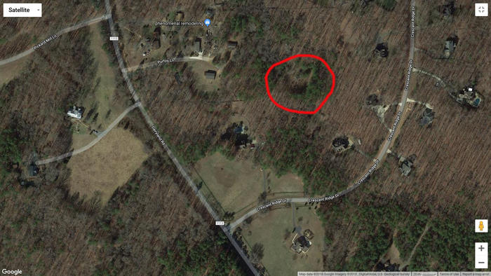
I'm attaching an image of the area with the whetstone quarry circled in red. Remember to get permission before going on the property and you might want to carry a sidearm, apparently coyotes are a problem in that area.
Attachment 294347
Thank you very much for this. It's going to make for a really cool road trip.